Carlo Schmidt · 13 November 2026
Waldora Art Exhibition Connects Historical Roots with Modern Sustainability Goals
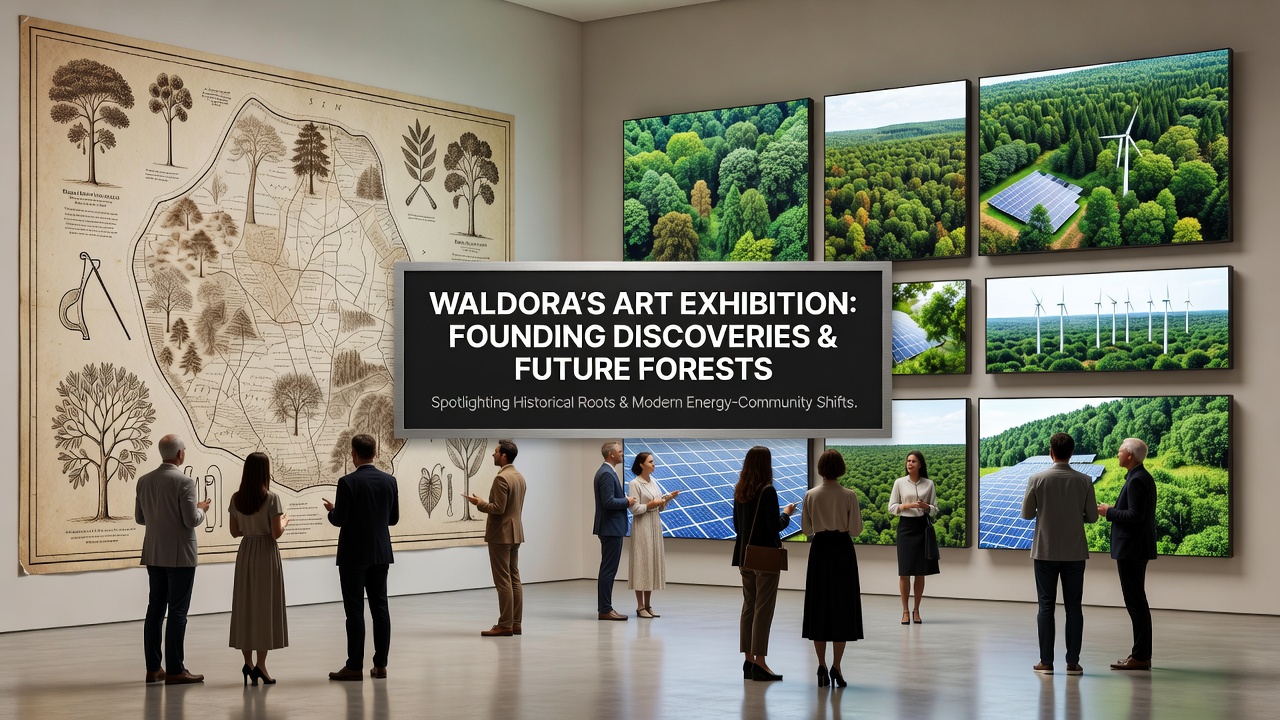
Visitors to Waldora's latest art exhibition encounter founding era discoveries presented through paintings, sculptures, and archival documents that date back to the region's earliest settlements, and these elements connect directly to present-day forest protection initiatives along with shifts in community energy sources. The show opened in November 2026 at the central cultural hall and draws from local museum collections that include tools, maps, and personal accounts from the 19th century onward.
Curators arranged the displays so that each historical item appears next to contemporary data on forest cover changes, while interactive panels show how energy production in surrounding communities has moved toward solar and wind installations over the past decade. Attendance records indicate several thousand people passed through the galleries during the first month, with many stopping to examine original land grant documents that outline early forest boundaries still referenced in current protection plans.
Founding Artifacts and Their Documented Context
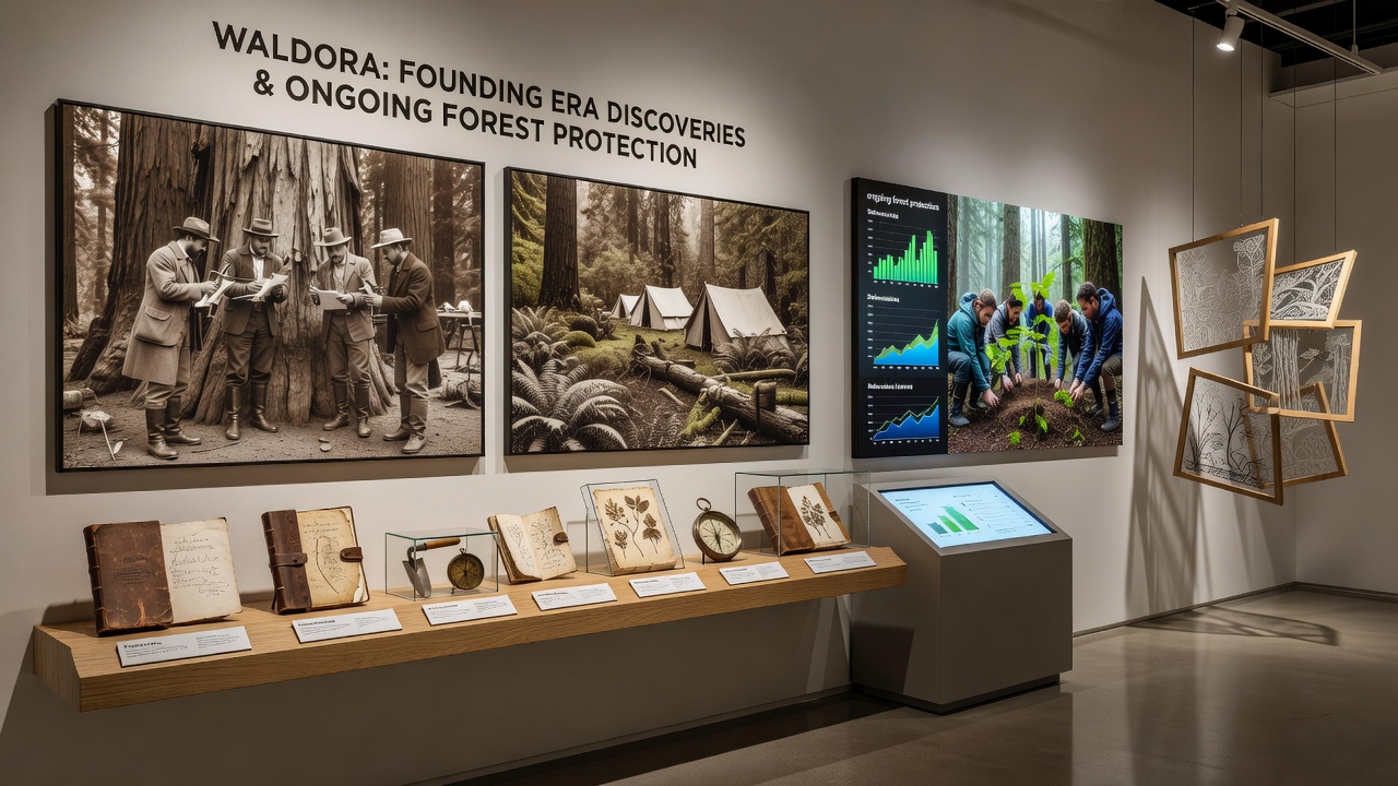
Researchers recovered several key pieces during recent archival reviews, including a set of surveyor notes from 1848 that detail tree species distributions across what is now protected woodland zones. These notes match data collected by modern forestry teams, and exhibition organizers placed enlarged reproductions beside satellite imagery that tracks canopy density from 2000 through 2025. One display case holds a collection of hand-forged axes and seed storage containers used by the first agricultural families, while adjacent screens present statistics on reforestation projects that have added over 2,000 hectares of native species since 2015.
Paintings from the founding period portray dense woodland scenes that correspond with written descriptions of old-growth stands, and those same locations now fall under management agreements that limit commercial harvesting. Exhibition labels quote passages from settler journals that mention seasonal river flows and wildlife patterns, then link those observations to ongoing monitoring programs run by regional environmental offices.
Forest Protection Efforts Highlighted Through Visual Narratives
Large-scale photographs line one gallery wall and show the progression of protected forest areas from the 1970s to the present, with overlays that mark zones where community-led patrols have reduced unauthorized clearing incidents by 40 percent in the last five years. These images sit near artifacts such as early trail maps that guided settlers through the same terrain now covered by conservation easements. Data from the European Environment Agency indicates similar patterns across comparable European landscapes, where historical land records have informed updated protection boundaries.
Visitors can scan QR codes on the frames to access reports that detail how forest health metrics, including soil retention and biodiversity counts, have improved in areas that align with the original settlement corridors. The exhibition also features a short film loop that intercuts footage of current tree-planting crews with archival photos of the same hillsides cleared for initial homesteads.
Community Energy Shifts Presented Alongside Historical Context
Panels in the energy section trace the transition from wood-fired heating systems documented in founding records to the current network of photovoltaic arrays and small-scale wind turbines serving outlying districts. Usage figures released by local utilities show that renewable sources now supply 62 percent of household electricity needs in the Waldora valley, up from 18 percent in 2010. Exhibition designers positioned replica oil lamps from the 1850s next to live dashboards that display real-time output from nearby solar farms.
Community workshops scheduled during the exhibition run allow residents to review case studies from Canadian provincial programs that paired heritage site preservation with renewable energy retrofits, and similar approaches appear in Waldora's own pilot projects that convert former sawmill sites into micro-grid hubs. Attendance at these sessions reached capacity within days of announcement, prompting organizers to add extra dates through December 2026.
Integration of Past Records with Present Data
Archivists contributed original ledgers that list timber yields from specific parcels in the early 1900s, and these numbers sit beside charts from the Commonwealth Scientific and Industrial Research Organisation that project future yield potentials under stricter conservation rules. The side-by-side format encourages viewers to compare extraction rates across eras without interpretive commentary from the curators. A separate timeline wall marks key policy changes, such as the 1998 forest reserve designation and the 2022 community energy cooperative formation, both of which trace roots to patterns visible in the founding documents on display.
School groups visiting on weekday mornings receive printed activity sheets that guide students through matching historical place names with current protected areas and renewable energy installations. Teachers report that the materials align with regional curriculum standards on environmental history and resource management.
Conclusion
The exhibition runs through February 2027 and plans include rotating additional artifacts from private collections into the main gallery every six weeks. Organizers have confirmed that digital versions of the displays will remain accessible online after the physical close, allowing broader access to the combined historical and environmental records. Further updates on attendance and related community programs appear on the Waldora cultural affairs site as they become available.